AI is Changing Urban Forestry
An Arvada-based tech company has developed a suite of software applications to simplify and improve urban forest management.
Alec Sabatini //May 26, 2022//


AI is Changing Urban Forestry
An Arvada-based tech company has developed a suite of software applications to simplify and improve urban forest management.
Alec Sabatini //May 26, 2022//
What comes to mind when you hear the word infrastructure? Roads, bridges, maybe power lines and storm drains?
Add to that list — the trees lining the street and shading your favorite parks.
These trees, collectively known as the “urban forest,” also provide essential infrastructural services. They mitigate stormwater, cool air temperatures, improve air quality, and enhance the livability of communities. The urban forest canopy is becoming increasingly important as global populations urbanize and climate change intensifies.
Yet, over the years an upwards of over 20 million trees were lost every year in U.S. cities from development and climate change to lack of care and labor shortages. The urban forest requires continuous upkeep, just like any infrastructure, to continue providing benefits to the communities around them.
Cities can now measure their tree canopy coverage in a couple of days instead of a couple months.
Combating Canopy Loss With Technology
This is the domain of PlanIT Geo, an Arvada-based tech company that developed a suite of software applications to simplify and improve urban forest management. The company made a name for itself first in consulting and then by creating leading-edge software for urban foresters.

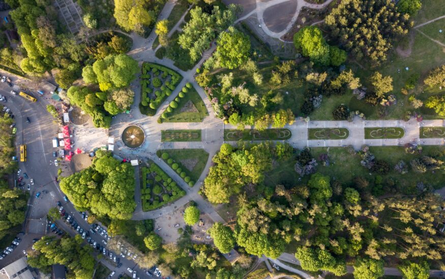
The company’s latest innovation is looking to tree canopy analysis — where satellite imagery and geographic data are used to map out the distribution of trees in a defined area. It provides foresters with a big-picture view of the quantity and location of their trees and helps guide where new trees should be planted.
Historically, a tree canopy analysis is a lengthy process, requiring contracting a specialized company, lots of meetings, and special budgeting to absorb the large cost every 5-10 years. A response by PlanIT Geo was to partner with EarthDefine out of Redmond, Washington, in using artificial intelligence (AI) and machine learning to offer dramatically faster and less expensive canopy analysis.
More Accessible Data Means Better Managed Trees
Nowadays, there is no longer a need for staff utilizing Geographic Information Systems (GIS) to analyze or scope a tree canopy study — the work is already done by AI. Cities can now measure their tree canopy coverage in a couple of days instead of a couple months. And, since it is on an annual subscription model, the cost is flatlined into more manageable payments.
This has opened the door for smaller urban forestry programs to get data previously only pursued by larger cities. For example, locally in the Grand Valley, it was unlikely Grand Junction’s forestry department would have been able to purchase a traditional canopy analysis. This new offering was accessible for their budget and the forestry department can now back up budget discussions with city leadership with hard numbers about the value of their trees.
Through partnerships and AI analysis, it is now easier more than ever to use and share information on changes in urban tree canopy. More communities are going to be able to track the health of their urban forests and work towards more equitable distribution of their trees. This latest tech innovation for canopy assessment equates to better understood urban forests, which leads to better management, and therefore more resilient and livable communities.
 Alec Sabatini is a writer and editor at PlanIT Geo, a global urban forestry consulting and software development firm, where he creates educational content at the intersection of trees and technology. To learn more about the latest in innovative urban forestry, visit: PlanIT Geo.


